|
Airport use: Private. Permission required
Activation date: 11/1962
Sectional chart: CHICAGO
Control tower: no
ARTCC: CHICAGO
CENTER
FSS: KANKAKEE FLIGHT SERVICE
Attendance: Unattended
Wind indicator: yes/Lighted windsock
Segmented
circle: no
Lights: RDO-CTL
LIRL RY 18/36 PRESET ON LOW INTST; TO INCR INTST ACTVT - 122.9.
Distance VOR Freq
11.4 DUPAGE VOR/DME
108.40
12.4 JOLIET VORTAC
112.30
20.2 O'HARE
VOR/DME 113.90
31.3 NORTHBRK
VOR/DME 113.00
31.4
CHGO HTS VORTAC 114.20
33.5
PEOTONE VORTAC 113.20 Runway Information
Runway
18/36
Dimensions: 2575 x 30 ft. / 785 x 9 m
Surface: asphalt
SLIPPERY WHEN WET.
Runway edge lights:
low intensity
RUNWAY 18 RUNWAY 36
Latitude: 41-44.313667N 41-43.890000N
Longitude: 088-12.184000W 088-12.204167W
Elevation: 702.0 ft. 706.0 ft.
Traffic pattern: left left
Displaced threshold: no 260 ft.
Obstructions:
none 15 ft. road, 50 ft. from runway Runway 9/27
Dimensions: 1750 x 70 ft. / 533 x 21 m
Surface:
turf
RUNWAY 9 RUNWAY 27
Traffic pattern: left left
Displaced threshold: 150 ft. no
Obstructions: 28
ft. house, 270 ft. from runway, 1:1 slope to clear none
North Boundary
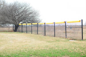
Fence Information Fences previously installed at the East end of the emergency landing strip 9/27 and
the the North end of Runway 36/18 have been removed.
 |
 |
|
COMMUNICATIONS MULTICOM FREQ: 122.9 AVBL AT APT. WX AWOS-3 at LOT (9
nm SE): 118.525 (815-588-4802)
WX ASOS at DPA (11 nm N): PHONE 630-584-2728
WX ASOS at ARR (12 nm W): PHONE 630-466-4024
WX AWOS-3 at JOT (13 nm S): 119.975 (815-730-9560)
WX ASOS at ORD (20 nm NE): PHONE 773-462-0118
Click here for LL10 Airnav information
Click Here For Skyvector Sectional
|
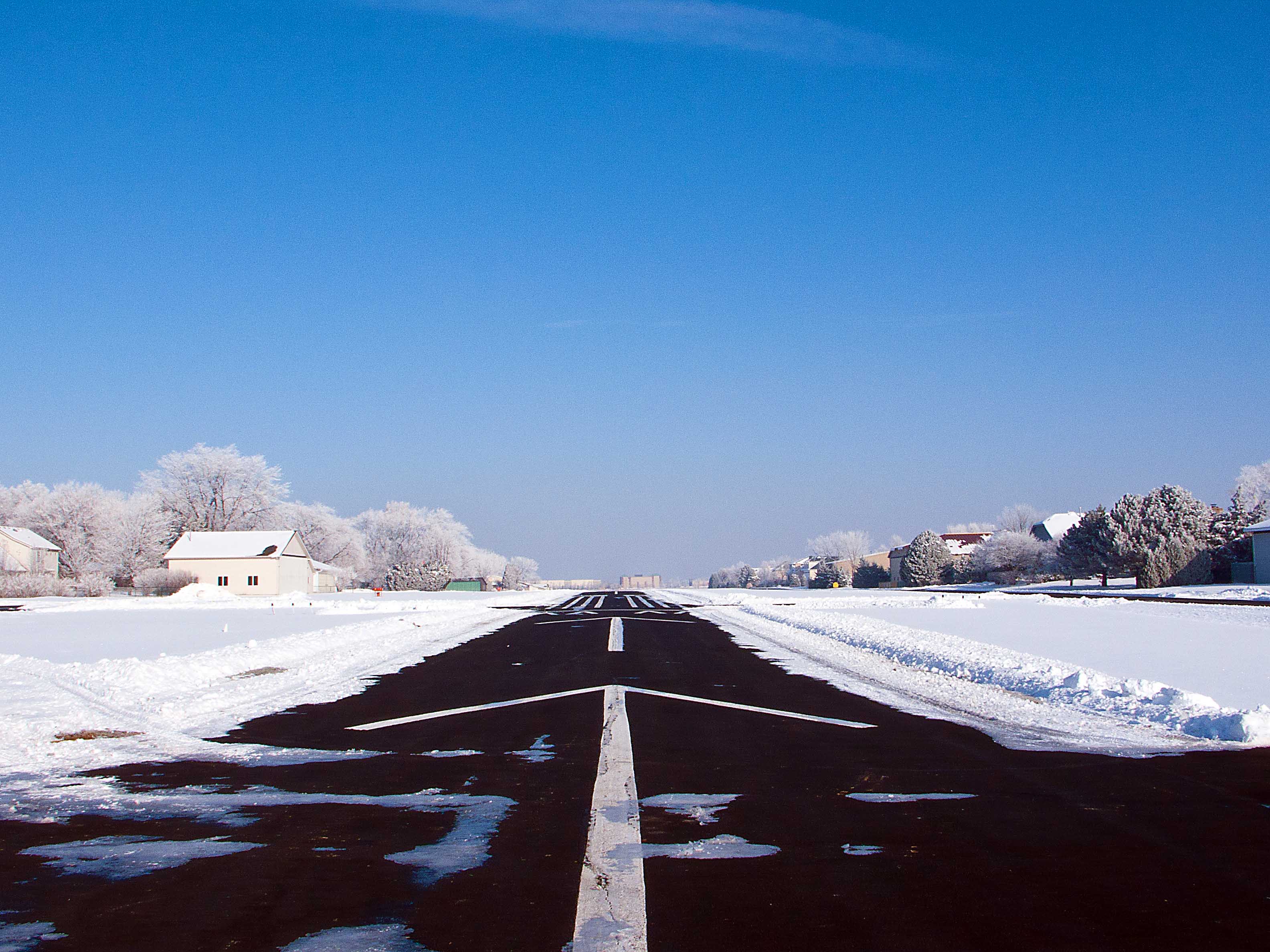
| Runway 36 |
THE RUNWAY 36 JOT VOR/GPS OVERLAY INSTRUMENT APPROACH IS AVAILABLE FOR
DOWNLOAD IN
THE MEMBERS SECTION |
|
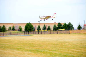
| Rwy 18 Threshold Fence |
|
|
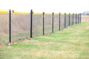
| Rwy 18 threshold fence |
|
|
|
|
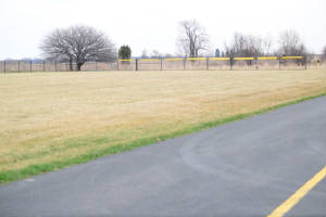
| Rwy 27 threshold fence |
|
|
| Rwy 27 threshold fence |
|
|
 |